FloodTwin
Simulate a cloudburst over your own streets, see which buildings and roads the water reaches, and test whether a basin, berm or green roof actually helps, with evidence you can defend.

Sobre este modelo
Description
1. Product Overview
FloodTwin is a physics-based urban flood twin for municipalities, water authorities and the engineers who advise them. It lets a team simulate a design storm over its own streets, see where the water collects, identify which buildings and roads it reaches, and test whether a proposed measure actually helps before any money is committed to it.
The first release covers pluvial (rainfall-driven) flooding in Flanders. It is proven on a 1 km² pilot of the Groot Schijn catchment in Antwerp-Deurne, built on official Flemish terrain and building data. FloodTwin's commercial value is speed with accountability: questions that typically require a commissioned study can be explored in a browser session, and every answer arrives with the evidence needed to defend it in front of a council, an auditor or residents.
2. The Business Problem
Cloudbursts flood streets that river maps never show. Water gathers in low points, underpasses and back gardens, often far from any watercourse, and the damage falls on homes, roads and public services.
Teams responsible for that risk usually work from static hazard maps and one-off consultant reports. These are valuable, but they answer the questions that were asked when they were commissioned. When a new retention basin, a green roof programme or a raised kerb is proposed, testing it typically means another study, another procurement step and another wait. In the meantime, budget decisions are made on judgement rather than on a comparison of options.
A second problem is trust. Flood results that cannot show their inputs, their assumptions and their accuracy are hard to defend when a decision is challenged. Optimistic claims about a measure's effect can also lead to investments that protect less than promised.
3. How FloodTwin Creates a Solution
FloodTwin turns the flood question into an interactive, repeatable workflow. A user selects an area, reviews which data is available and how reliable it is, and runs a design storm with a recognised open-source two-dimensional flood solver over high-resolution terrain. In the pilot, a 59 mm, three-hour storm over one square kilometre solves in about eight seconds.
The result is expressed in terms decision-makers use: how many buildings the water reaches at threshold-entry depth, which roads become hard or impossible to pass, and where water depth is greatest. The user can then add a measure and run it again. FloodTwin shows the difference between the two runs as a map, including where things get worse.
Every output carries its provenance: data sources, solver version, mass balance and an honest comparison against the official regional hazard map. Results can be taken into existing GIS workflows as standard geospatial files.
4. Problem-to-Outcome Flowchart
5. Value Creation Model
6. Key Business Benefits
7. Before vs. After
8. Customer Workflow
A typical session moves from area definition to an evidence-backed comparison of options in one sitting. Hydrologists and GIS analysts run and inspect simulations; owners manage team access and roles; operational reviewers approve or dismiss alerts. Work is separated per organisation, so each team's projects, runs and records stay its own.
9. Who Benefits
10. Business Impact
11. Product Differentiation
12. Strategic Value
FloodTwin helps public organisations move flood adaptation from periodic studies to a continuous, evidence-based practice. A shared twin of the catchment gives planners, engineers and decision-makers one consistent view of the risk and of the options to reduce it. Because results are traceable and accuracy is stated openly, the platform supports stronger internal governance, more credible funding applications and a clearer dialogue with residents. As local data such as sewer networks and observed high-water marks is added, the same twin can mature from screening towards design support.
13. Closing Value Proposition
Heavy rain will keep testing streets that were never designed for it. FloodTwin gives municipalities, water authorities and their advisers a fast, transparent way to see where water goes, who is affected and which measures genuinely make a difference. It is best suited to teams in Flanders that need to prioritise adaptation investments and defend those choices with evidence they can show.
Características clave
Casos de uso
- Testing retention basins, berms and green roofs before committing capital budgets
- Identifying streets, buildings and roads exposed to cloudburst flooding in a municipality
- Evidence for climate-adaptation plans and grant applications
- Emergency planning: which roads become impassable in a design storm
- Preliminary pluvial flood screening for engineering consultancies
Planes de Precios
Planes de Precios
Productos relacionados

SolarInspect AI
Upload drone and aerial roof photos of solar arrays to detect panel defects, micro-cracks, hotspots, soiling percentages, and yield loss in under 60 seconds.
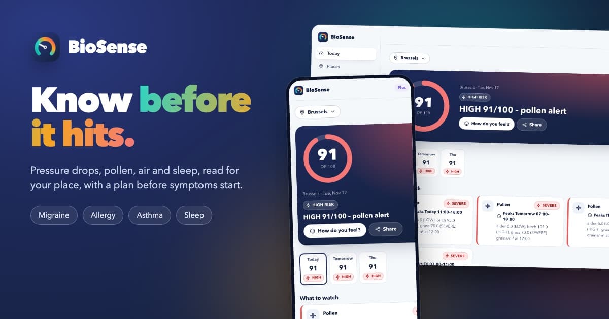

BioSense
Know before it hits: a personal bio-weather radar that warns you of pressure-drop migraines, pollen surges, bad air and poor sleep nights, with a plan before symptoms start.


SalesCall WinLoss
Transform B2B sales call recordings into win/loss drivers, MEDDPICC field extracts, competitor battlecard moments, and CRM auto-fill payloads in under 60 seconds.