
CoastLens
Turn the coastal surveys you already commission into volume figures you can defend: datum-checked, reviewed by a named engineer, and sealed in a report any third party can verify.

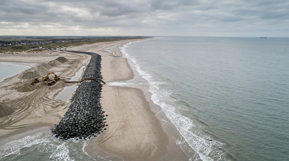
Über dieses Modell
Description
1. Product Overview
CoastLens is an audit layer for coastal measurement. It takes the elevation surveys that coastal teams already commission, as gridded surface models exported from their drone, LiDAR or survey processing, and turns them into volume figures that hold up when someone challenges them: datum-checked, reviewed by a named engineer, and sealed in a report that a third party can verify independently.
It is built for organisations whose work is paid, permitted or judged in cubic metres and structural condition: beach nourishment programmes, dredging contracts, coastal defence maintenance and port infrastructure. For these teams, measuring is rarely the hard part. Proving the measurement is. CoastLens addresses that gap by making every reported figure traceable from the original survey file to the signed result.
2. The Business Problem
Coastal works are contracted and paid in measured quantities. A nourishment campaign is settled against cubic metres of sand placed and retained, and a breakwater programme against the observed condition of its structures. These figures decide payments, penalties and permit compliance, and they are often disputed.
In most organisations, though, the number comes out of one engineer's desktop project. The calculation is not shown, the vertical reference is remembered rather than declared, and the final figure travels as a PDF with a name in the footer. When a client, regulator or contractor questions it, there is no reliable chain back to the source data, and no way to show that the report has not changed since it was signed.
The most damaging errors are also the hardest to see. Surveys referenced to different vertical datums (for example the Belgian and Dutch national references, or chart datum) can be subtracted without any warning and produce a confident volume that is wrong by thousands of cubic metres. Gaps in survey coverage can quietly be read as "no change". A systematic height offset between two flights can inflate or erase a result. Each of these errors is cheap to prevent and costly to dispute after the fact.
Satellite products show where a coastline is changing, but they are two-dimensional and too coarse to settle a contract measured in volume. Photogrammetry tools produce excellent surfaces, but they are not built to govern how a result is reviewed, approved and defended.
3. How the Product Creates a Solution
CoastLens sits between survey production and contractual reporting. Teams bring the measured surfaces they already produce; supporting files such as point clouds, orthophotos and survey reports can be attached as fingerprinted evidence alongside them. CoastLens checks them, computes the change between survey epochs, routes anything that needs judgement to a named reviewer, and issues a sealed report.
Quality comes first. Before any calculation runs, CoastLens confirms that surveys share a declared vertical datum and a compatible grid, and that coverage is adequate. When they do not, it refuses the request with a specific, actionable explanation instead of producing a plausible but wrong answer. A missing datum or a gap in the data is reported as such and never treated as zero change.
The volume calculation itself is deterministic and transparent. Stable reference ground can be used to correct the systematic offset between two surveys, and each result records both the corrected and uncorrected volumes, the area analysed, the data actually used and a tolerance band derived from the stated survey uncertainty. Cross-shore profiles and beach slope give engineers the context behind the headline number.
Judgement stays with people. Structural observations, such as a displaced armour unit or damaged concrete, enter a review queue. A different named reviewer accepts or dismisses each one with a reason from a fixed list. Artificial intelligence plays a deliberately limited role: it may draft the narrative of a report's method statement, but every figure in that draft is checked against the computed results before it is kept, and no model ever produces, adjusts or certifies a volume.
The outcome is a signed report carrying its method, assumptions, limitations, reviewer and a tamper-evident seal. Once signed, it cannot be altered, only superseded by a new version, and anyone holding it can confirm that it is unchanged.
4. Problem-to-Outcome Flowchart
5. Value Creation Model
6. Key Business Benefits
7. Before vs. After
8. Customer Workflow
A team sets up a project and its sites, then records each survey campaign as an epoch with its declared datum and stated uncertainty. Survey surfaces are uploaded and quality-checked when they arrive, so problems are visible before anyone depends on them. An analyst then compares two epochs over the area of interest, optionally using stable ground as a control zone. Engineers review the volume result, the cross-shore profiles and any proposed observations. Once review is complete, an authorised person signs the report, which is sealed and available both in the application and as a document for distribution. When new survey data arrives later, a new version is issued and the earlier signed record stays intact.
Access follows the organisation's own structure: members are invited with defined roles, usage against the subscription is visible on the dashboard, and administrative actions are recorded.
9. Who Benefits
10. Business Impact
Workflow improvements such as refusals, review and sealed reports apply from the first project. Financial outcomes, including fewer disputes and less rework, depend on adoption across campaigns and on each customer's contractual environment.
11. Product Differentiation
12. Strategic Value
For organisations running multi-year coastal programmes, CoastLens helps turn survey data from a series of one-off deliverables into a governed body of evidence. It supports the move from individual expertise to repeatable, reviewable processes, which matters as programmes scale across more sites, contractors and stakeholders.
It also helps prepare for a more demanding oversight environment. Public clients, financiers and regulators increasingly expect traceable decisions and clear accountability for automated tools. A platform that separates computation from judgement, records who decided what, and keeps signed records unchanged gives organisations a credible foundation for that scrutiny.
13. Closing Value Proposition
Coastal works are paid for and judged on measured quantities, yet those quantities are often hard to defend. CoastLens closes that gap. It checks surveys before any calculation, computes volume change transparently with its uncertainty, puts every judgement in the hands of a named reviewer, and seals the result in a report anyone can verify. It suits contractors, agencies, port owners and consultancies who already measure the coast well and now need every cubic metre to stand up to scrutiny.
Wichtige Funktionen
Anwendungsfälle
- Beach nourishment volume settlement between contractors and coastal agencies
- Dredging progress and as-built volume evidence for payment certificates
- Breakwater, quay and caisson condition records with accountable sign-off
- Multi-year foreshore and beach change records for coastal defence programmes
Preispläne
Preispläne
Ähnliche Produkte
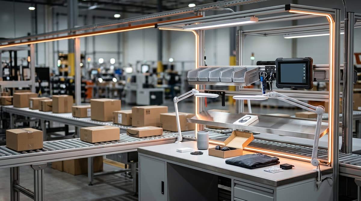

ReturnGrade AI
Upload return item photos, video, original listing references, and return claims to generate instant resale grades, defect vs misuse assessments, and wardrobing fraud flags in under 60 seconds.
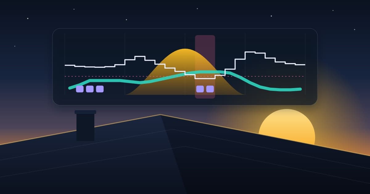

SolarSense
Know tomorrow's sun. Spend it well: solar yield forecast and a verified battery, EV and appliance plan, every day.
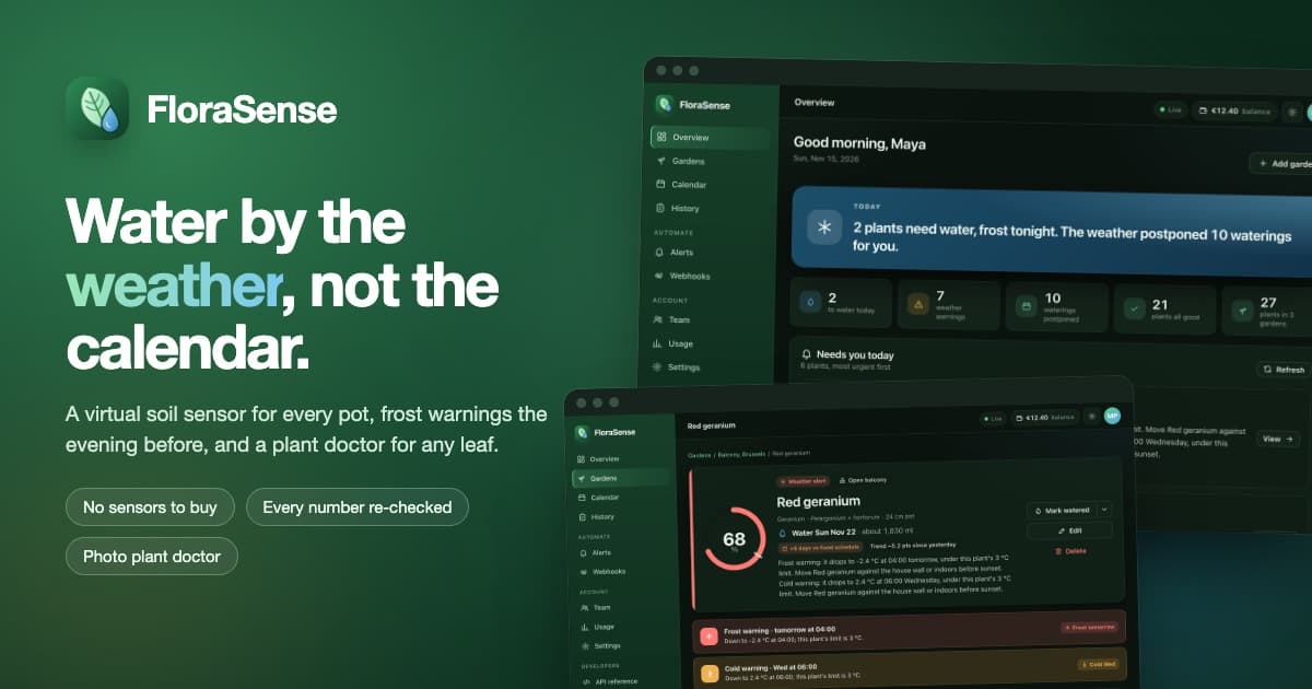

FloraSense
Water your plants by the weather, not the calendar: a verified virtual soil sensor for every pot, frost warnings the evening before, and a plant doctor for any leaf.